


Tumwater 12 Voting District, Thurston County, Washington
About
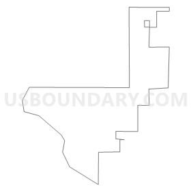
Outline
Summary
| Unique Area Identifier | 689656 |
| Name | Tumwater 12 Voting District |
| County | Thurston County |
| State | Washington |
| Area (square miles) | 0.36 |
| Land Area (square miles) | 0.36 |
| Water Area (square miles) | 0.00 |
| % of Land Area | 99.56 |
| % of Water Area | 0.44 |
| Latitude of the Internal Point | 47.00786420 |
| Longtitude of the Internal Point | -122.89184940 |
Maps


Graphs
Select a template below for downloading or customizing gragh for Tumwater 12 Voting District, Thurston County, Washington


Neighbors
Neighoring Voting District (by Name) Neighboring Voting District on the Map
- Delta Voting District, Thurston County, WA
- Olympia 25 Voting District, Thurston County, WA
- Olympia 35 Voting District, Thurston County, WA
- Olympia 42 Voting District, Thurston County, WA
- Quince Voting District, Thurston County, WA
- Tumwater 2 Voting District, Thurston County, WA
- Tumwater 20 Voting District, Thurston County, WA
- Tumwater 3 Voting District, Thurston County, WA
- Tumwater 6 Voting District, Thurston County, WA